Church · Chania Regional Unit
Church of Christ the Savior
Temenia · Municipality of Kantanos-Selinon · Chania Regional Unit
- Dating
- 1201–1300
- Patron
- Christ the Savior
- Plan
- Single nave
- Location
- Confirmed
Description
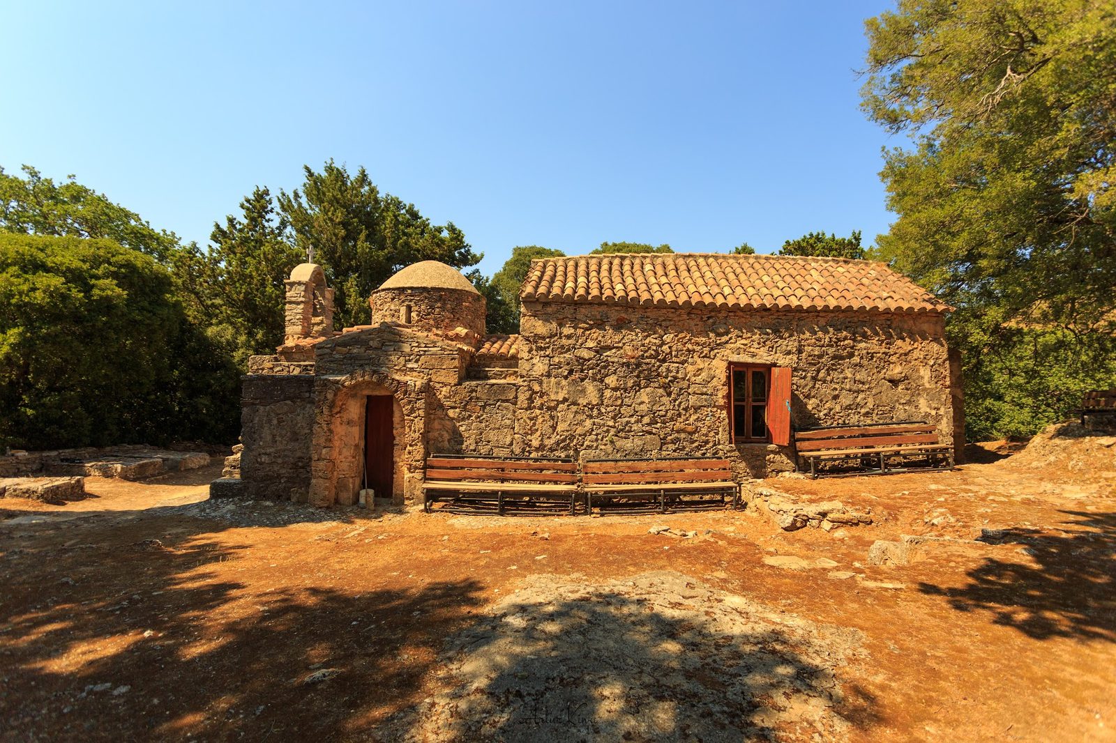
The church stands on the outskirts of Temenia, surrounded by old trees. The structure is two-phased: the older part — 13th-century, single-nave, barrel-vaulted with blind arches — forms the main body. In the 14th century an independent narthex in the form of a single-nave domed church was added to the west. A small western bell tower. The state of preservation of the frescoes is poor — Lassithiotakis records simply: "heavily damaged" (πολύ κατεστραμμένες).
Of the fragmentarily surviving iconographic programme, the following are visible: in the apse, remnants of a Pantokrator surrounded by figures; in the register of hierarchs, two bishops in polystavrion omophoria — the chequerboard cross pattern characteristic of late Byzantine episcopal vestments — identified as Nicholas and Basil; in a blind arch of the lateral wall, a mounted military saint on a white horse; fragments of narrative scenes on the vault, including a battle scene with horsemen. The dating of the frescoes has not been established in the scholarly literature.
The church is active.
Catalogue record
Architecture
- Type
- Church
- Plan
- Single nave
- Vault
- Barrel vault
- Apse
- Semicircular
- Dome
- Yes
- Masonry
- Mixed
- Orientation
- East–west
- Setting
- In a village
State of preservation
- Structural risk
- Low
Dedication and dating
- Patron
- Christ the Savior
- Dating
- 1201–1300
- Certainty
- Approximate
- Basis of dating
- Architectural analysis
In the catalogue
- Gerola–Lassithiotakis no.
- 188
- Record no.
- #714
- Location
- Confirmed
- Documented by
- Artur Kiwa
- Last updated
- 14 November 2026
Location
Map configuration missing: set MAP_STYLE_LIGHT / MAP_STYLE_DARK in ConfigMap.
Coordinates35.28836° N, 23.75311° E
Open on the main map